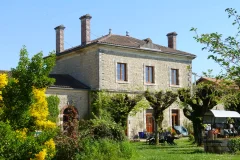
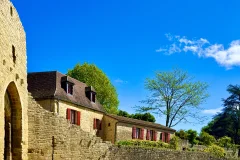
Franche Comte Geography
Franche Comte climate is generally made up of cold Winters and mild Summers. There are lots of regional variations depending on local conditions and terrains, since this region is made up of so many lakes but also mountains.
Franche-Comté is dominated by the Jura Mountains, and much of the région is covered by forests. The basin of the upper Saône River extends into Jura. Annual precipitation is high, and much of it is actually snow in the upper parts of the Jura Mountains, which can reach heights of more than 4,905 feet (1,495 metres). Winters in the mountains are long and harsh.
The region is sparingly populated. Like much of rural France, the population decreased between 1880 and 1945, and, despite a rise in population in the years following World War II, population growth slowed in the 1980s. Much of the population is concentrated in the urban areas of Montbéliard, Belfort, and Besançon. Commuting to these centres from surrounding areas is common, while a large number of workers are also employed in Switzerland.
France is mostly composed of flat plains or gently rolling hills. This region is really different and boasts many mountains and lakes.
The following criteria are typical of Franche Comte geography:
- valleys
- more than 1000 ponds, 80 lakes
- montainous land
- nearly half of the land covered with trees