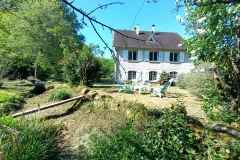
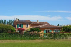
Picardy Geography
- Located in the north of France, Picardy is made of 3 departments: Somme, Aisne and Oise. The regional capital, Amiens is at only 111 km from Paris. This region stretches on 19,311sq km and accounts for 2,292 communes. The population density is only 97/sq m, which allows the 1,875,000 inhabitants to benefit from more living space.
- With 34,500 hectares, woods represent 17 % of the region. Picardy is a rather flat territory and the highest peak – Mont Watigny – lies at only 285m altitude. It is is mostly rural as it is made of 70 % of usable farmland but only 11 % of built-up area.
- West Picardy is bordered by the Channel and water is a key element for the region. The 3 main rivers have indeed given their names to the current departments. More than 700km navigable routes and 1,200km rivers groove the region.
More documents, info and useful contacts on Picardy's geography: