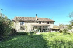
Upper Normandy Geography
Upper Normandy climate is generally made up of cold Winters and mild/hot Summers. There are lots of regional variations depending on local conditions and terrains.
France is mostly composed of flat plains or gently rolling hills. This region is really typical of France geography on this point of view.
Normandy is not an homogeneous geographical area but an old territory, previously a Dukedom, embracing two large areas with different geological structures. The sandstones, granites and primary schist of the Armorican Massif in the west give way to the Secondary and Tertiary Era stratas of clays, limestone and chalks which belong to the geological formation of the Paris Bassin. Normandy can therefore be divided into two separated regions, Upper Normandy, which lies northwest of the Paris Bassin, and Basse-Normandie, which resembles its neighbour Brittany.
Upper Normandy is made of two departments : Seine-Maritime and Eure.
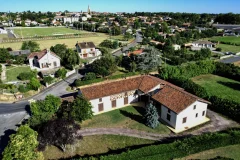
The following criteria are typical of Upper Normandy geography:
- plains, valleys
- few lakes
- flat land
- many forests